
Berkeley County ZIP Code Directory Coverage
Berkeley County is served by postal routes centered on county-seat, rural, coastal-edge, and metro communities. The table is a routing guide drawn from the county's elections material and postal references, not a claim that every address in any one ZIP lies in Berkeley County. Postal facilities can sit outside the county, and a line ending in Charleston or Summerville can still need a Berkeley County GIS check. Use the exact address before choosing a records office.
| ZIP | Berkeley-serving area or postal clue | Post office or facility | County and postal caution |
|---|---|---|---|
| 29410 | Hanahan | Hanahan route | Verify the actual parcel jurisdiction; deliveries moved here from 29406 and 29445 in 2007. |
| 29430 | Bethera / Moncks Corner | Bethera retained as a place name | Bethera Community Post Office closed in 2002; do not imply an active ordinary post office. |
| 29431 | Bonneau / Bonneau Beach | Bonneau Post Office, 104 Cedar Street | County elections uses Bonneau 29431. |
| 29434 | Cordesville | Cordesville Post Office, 2732 Highway 402 | Postal locality, then confirm parcel location. |
| 29436 | Cross | Cross Post Office, 1836 Ranger Drive | County elections uses Cross 29436. |
| 29445 | Goose Creek | Goose Creek Post Office, 307 N. Goose Creek Boulevard | Part of its former delivery area moved to Hanahan 29410 in 2007. |
| 29450 | Huger | Huger Post Office, 3282 Highway 41 | Confirm postal and county boundary by parcel. |
| 29453 | Jamestown / Shulerville area | Jamestown Post Office, 4354 N. Highway 17A | Use exact-address verification. |
| 29456 | Ladson | Listed facility in Charleston County | Shared tri-county metro area; Berkeley coverage is address-specific. |
| 29461 | Moncks Corner | Moncks Corner Post Office, 117 N. Highway 52 | County-seat and courthouse postal community. |
| 29468 | Pineville | Pineville Post Office, 2080 Highway 45 | Use exact-address verification. |
| 29469 | Pinopolis | Pinopolis Post Office, 1940 Pinopolis Road | Postal locality, then confirm parcel location. |
| 29472 | Ridgeville | Listed facility in Dorchester County | Shared edge route; verify the Berkeley address and TMS. |
| 29476 | Russellville | Russellville Post Office, 1737 Highway 35 | Use exact-address verification. |
| 29479 | Saint Stephen / Russellville area | Saint Stephen Post Office, 3981 Byrnes Drive | County elections also lists Alvin with 29479. |
| 29483 | Summerville | Listed facility in Dorchester County | Shared Berkeley and Dorchester metro route; verify the parcel. |
| 29486 | Summerville / Cane Bay-Nexton | Regional Berkeley-serving route | Cane Bay election locations use Summerville 29486; the postal city is not a municipal boundary. |
| 29492 | Charleston / Daniel Island-Cainhoy side | Charleston postal line | A Charleston mailing line does not establish Charleston County without GIS or TMS confirmation. |
The Berkeley County ZIP code directory includes 18 routing entries. It does not create a ZIP-based resident roster. County records are keyed to a parcel, a TMS number, an owner, an address, or a recorded document, rather than to a complete list of names inside a postal route.
Check Berkeley County ZIP Codes First
Use the Postal Service's address tool first when the street address is known. It tests the delivery address and returns the city and ZIP information the mail system uses. That result is important, but it cannot decide whether the parcel falls in Berkeley County, a municipality, a school district, or a voting precinct. The county research specifically warns that a ZIP is a Postal Service delivery-routing designation, not a property-tax jurisdiction or county proof.
USPS Find a ZIP Code provides the official address-to-ZIP and ZIP-to-city/state verification route.
Keep the postal result with the full street address, then use Berkeley County mapping and property systems to identify the land record behind it.
Berkeley County ZIP Code Postal Cities
Postal city names and government boundaries often disagree in this county. The Berkeley County ZIP code directory is a postal guide, not a jurisdiction map. Cane Bay election locations use Summerville, South Carolina 29486 even though county services and elections material identify the Berkeley County connection. Likewise, an address with a Charleston postal line in 29492 or a Ladson line in 29456 requires an address-level jurisdiction check. A county map and the parcel's TMS, the county tax-map number, settle the question more reliably than the final city name in a mailing address.
The same caution applies inside municipalities. Berkeley County GIS is the unincorporated-area addressing authority, while municipalities handle their own addressing. A county GIS miss inside a city is not proof that an address is invalid or that the postal ZIP is wrong.
Find Berkeley County Addresses Within a ZIP
A Berkeley County ZIP code directory can narrow the postal area, but the county's published GIS form does not advertise ZIP as a primary search field. It advertises TMS, owner, address, and street. For that reason, do not expect an assessor or GIS tool to return everyone in a ZIP. Work one verified address at a time, or use the map to identify a limited area, then record the parcel identifier and the office that holds the next record.
- Verify the complete delivery address through USPS and retain its reported ZIP.
- Enter the address in Berkeley County GIS, or use the TMS, owner, or street route if that is the available identifier.
- Click the parcel and note its TMS, situs address, ownership and assessment information, and any legal-description or deed references shown.
- Confirm the parcel's county and municipal context before using a local court, permitting, or records office.
- Use the Register of Deeds or other appropriate custodian only for the specific property, document, or historical question that remains.
Once the postal area is narrowed to a named street, the address-by-address sequence belongs in the Berkeley County street directory. A postal route is only the first filter, not a household list.
Berkeley County ZIP Code Parcel Fields
After postal verification, Berkeley County GIS Advanced Mapping connects the address to land data. Its search controls accept TMS, owner, address, or street, and a parcel click returns ownership and assessment information. The separate Assessor Property Card Search accepts TMS, street number and name, owner name, and mobile-home decal or owner. Neither published interface is a live county property ZIP filter, so a ZIP result must be translated into a specific address or parcel first.
| GIS search routes | TMS, owner, address, or street |
|---|---|
| Parcel click | Ownership and assessment information for the selected parcel |
| Property-card routes | TMS; street number and name; owner name; mobile-home decal or owner |
| Useful parcel fields | OwnerName, StreetAddress1, City, Zip, ParcelID, legal references, plat, deed book, and deed page where displayed |
| Not a ZIP roster | No verified live countywide property ZIP filter or public resident list was found in the official sources. |
Berkeley County GIS Cloud Mapping is the county's mobile map alternative for address research.
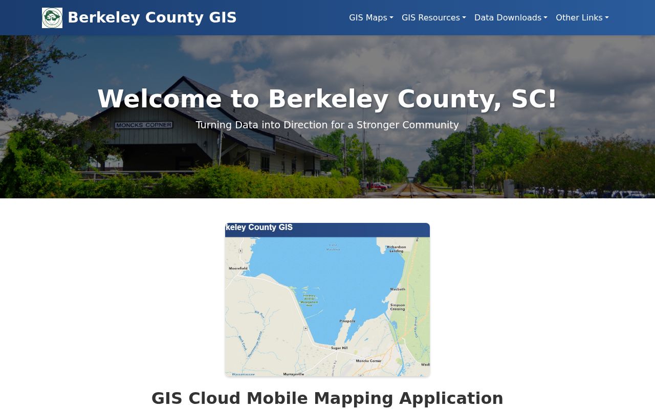
The cloud map is useful for reaching the parcel geography after a postal check, while the advanced mapping tool provides the fuller TMS, owner, address, and street workflow.
Berkeley County ZIP Code Boundary Limits
ZIP boundaries should never be substituted for city limits or county lines. A situs address is the physical street location of the parcel. A mailing address is where a tax notice goes. A legal description is the land locator recorded in a deed or plat. These can all differ from the postal city, especially where a Berkeley County parcel sits in a metro or rural-edge route. Preserve each label separately in a records note.
- ZIP and ZIP+4
- A ZIP identifies a postal delivery area. ZIP+4 adds a more precise delivery segment, not a county or parcel boundary.
- PO-box ZIP
- A ZIP used for post-office boxes can name a postal service point and does not prove a physical street location.
- Unique ZIP
- A ZIP assigned to one organization or facility. No Berkeley County unique ZIP was verified in the research, so do not assume one from a label.
- Carrier route
- A delivery sequence used by the Postal Service. It is not a government district or a resident directory.
Rural Berkeley County ZIP Code Places
Several entries in the routing table preserve the county's rural geography: Bonneau, Cordesville, Cross, Huger, Jamestown, Pineville, Pinopolis, Russellville, and Saint Stephen. The county election locations confirm several of these post-office and locality combinations. For historical work, a road, parish, plantation, rural community, or post office can be a better search term than a modern ZIP because ZIP codes are later postal tools, not a permanent way historic records named a place.
The South Carolina Room holds quadrangle maps dated 1927 through 1972 and parish-map material that can bridge older locality language. Use those maps with Berkeley County deeds, tax duplicates, census records, and the documented 1956 community directory, rather than trying to force earlier records into a current ZIP.
Berkeley County ZIP Code Changes
Two postal notices are especially useful when an older address seems to carry an unexpected label. USPS moved 5,166 deliveries from 29406 and 2,046 from 29445 into Hanahan 29410 effective July 1, 2007. Separately, Bethera Community Post Office closed in 2002, while USPS retained 29430 and made Bethera a place name effective December 1, 2004. Those changes explain a postal label. They do not move a parcel across a county line or replace the county's property records.
For a dated address question, save the postal notice, then compare the relevant year's map, legal description, and county parcel or deed information. That small paper trail is more reliable than assuming today's ZIP has always applied.
Berkeley County ZIP Code Parcel Numbers
Real Property Services values about 130,000 parcels. That count shows why an address-first method matters: a large property roll is not a household directory and it is not organized as a public list of residents by postal route. Assessment records can identify ownership and tax-related fields, but a mailing address may be a post office box, representative, business, or out-of-county address. It does not prove that an owner lives at the situs or identify every household member.
The county's reassessment calendar lists 2024 with 2029 next. Assessment timing is a useful date clue, but it is different from delivery, deed recording, a sale, a mailing-address change, or occupancy. Label each fact by its source and date.